Home
Up
Storm Chase Log - May 15, 2002
John and Beth Moore
![]()
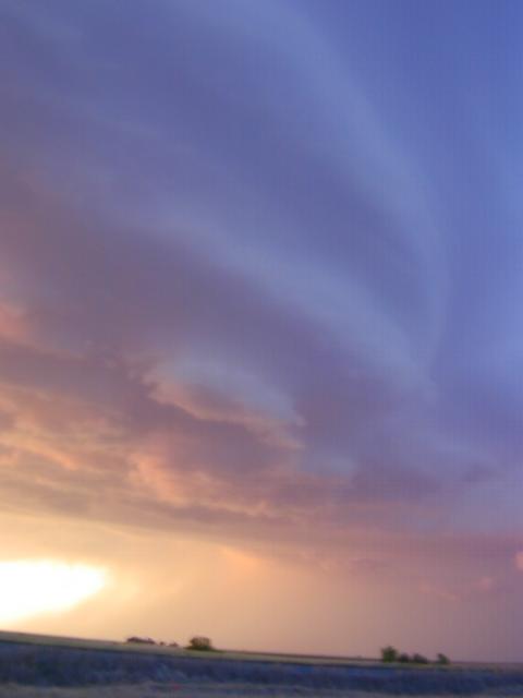
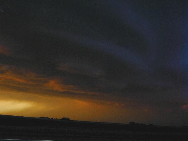
Today turned out better than we expected. We were a bit late getting into position, but when we got near Dodge City, there was a strong storm in progress. We were sitting in light hail E of Ford, KS when Matt called to tell us the storm was starting to look good. At the same time, a sever T warning went off for almost our exact location. We boogied south and then east, and watched as the storm quickly organized into a supercell right at sunset. No cloud base rotation or funnels were seen, but we there were a number of inflow bands, including a large one that formed a hook on radar. You can see in the pictures the "stacked saucer" look.
So far, the best we have seen this trip. Unfortunately, the best pictures are on the laptop and this is being uploaded from the Alva, OK, library without laptop access. More later.
Pictures below:
More Structure
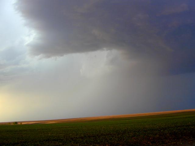
Hard to See... but waterfall-cloud RFD.
![]()
Sunset Swirl